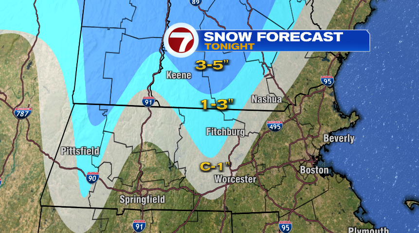
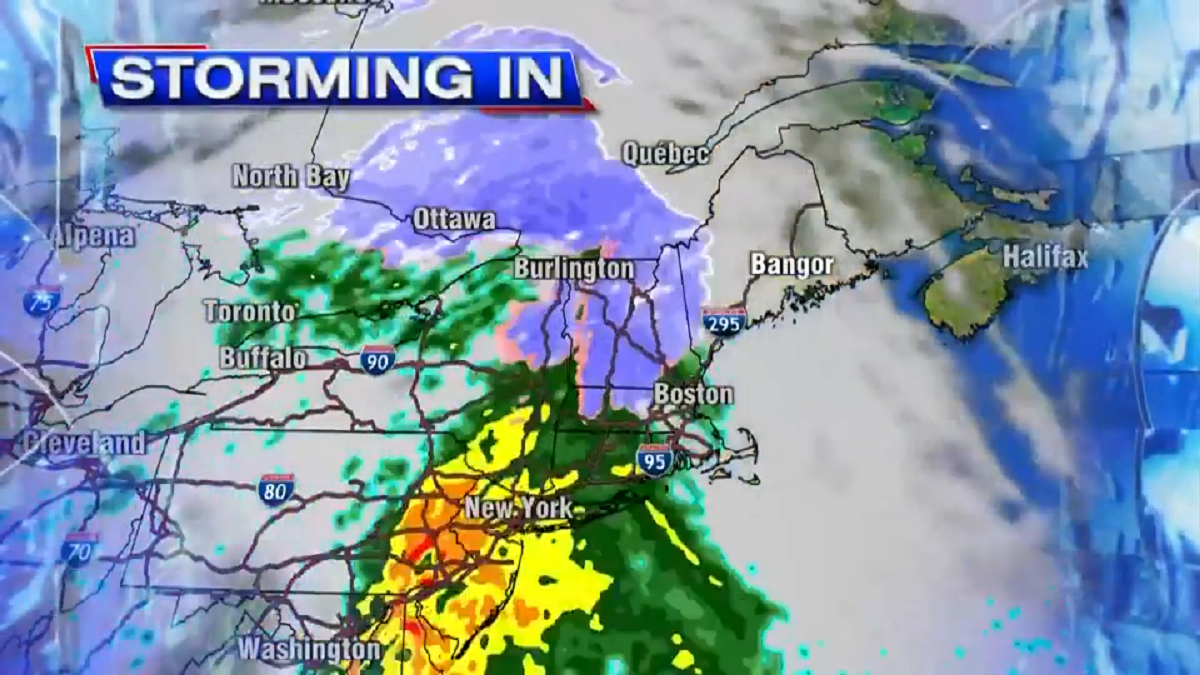
As the storm arrived last night it was cold enough for snow in parts of the area. Worcester recorded 2 inches, for a record snowfall for the date. A quick look at the observations from Tuesday evening shows that there was moderate-to-heavy snow for a couple of hours at the Worcester airport just before midnight. This is when the bulk of the accumulation fell.
An area of low pressure south of New England will move northeast Wednesday before heading up into Canada. Rain this morning will be heaviest south of the Mass Pike, but all areas will see some rainfall. The bulk of the rain is over by this afternoon. Temperatures will be in the 40s, but 50s over Cape Cod.
Most of the rest of the region experienced rain as temperatures are warming into the upper 30s and low 40s.
Snow fell heavily for a short time in Worcester Tuesday evening leading to a record snowfall for the day. The map below shows the position of the storm Wednesday morning. Notice the isobars, which are spaced closely together. These are the black lines which represent areas of equal pressure. The closer together, the more wind there is, and this is why there is a wind advisory for the first part of the day across the coast. Inland the wind is not mixing to the surface so the advisory isn’t needed.
Low pressure south of New England was bringing some wind to the coast Wednesday morning.

Wind advisories are posted through mid-afternoon along the southern New England coast from Rhode Island into Massachusetts. Behind this area of low pressure skies will clear, and we’re actually going to have a very nice Thanksgiving day. When you get up it should be around 40 degrees. Not too cold for those football games or an early morning run. Temperatures during the afternoon will warm to around 50 degrees, so it will be nice to get outside and take a walk after the big meal. High pressure remains in control through the weekend. It will be a bit colder on Friday with readings only in the 40s but brilliant sunshine and dry roads. It gets even colder Saturday when I think temperatures will stay in the 30s. The surface map has a large high pressure area moving south of New England Saturday night. Notice here the isobars are spread apart. This is an indication of light wind, and indeed there will be very little wind over the weekend.

High pressure provides dry weather to the northeast for the Thanksgiving weekend. Tropical Tidbits Since the high originated in Canada, Saturday will be the chilliest day we’ve seen so far this fall. On Sunday a new storm starts to approach and sunshine will fade behind clouds. It will be a little bit milder with temperatures back into the 40s. The next storm system approaches Sunday night or Monday, but whether or not this brings rain or misses us is still questionable. The map below has low pressure off the Atlantic seaboard to start next week. The exact track of the system will determine how much if any rain we receive. Have a great Thanksgiving, everybody!
A storm may impact New England early next week if it comes close enough. Tropical Tidbits


/cloudfront-us-east-1.images.arcpublishing.com/gray/Q7ZAGD6SSBCOBHLSQZK6NLAXQA.PNG)


