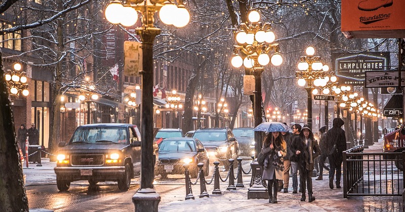
Here's Where And When You Could See Flurries This Week In Canada
The weather forecast for Metro Vancouver this week encompasses more than just low temperatures.

What's happening?
You could see flurries over the next week in Canada. Flurries are a a sudden short fall of snow or rain in a region. While locals will face some wet weather for the next couple of days, temperatures are expected to plunge following the rain event.
"After coming out of a cold weather stretch it is hard to predict when a ridge of high pressure will weaken," Lee told V.I.A., adding that ridges of high pressure tend to defect wet weather away.
Where and when?The weather occurrence is expected in Vancouver, Canada over the next week.

For snowfall to occur, there's a requirement for the weakening of the ridge, coupled with overnight temperatures falling to or below freezing. Moreover, the occurrence of a storm overnight, when temperatures are lower, is essential.
"The timing of the temperature change (to below zero) dictates the precipitation," he clarified.
Why it hasn't been snowing already?Thanks to the persistent ridge of high pressure, residents have been treated to clear skies and abundant sunshine in the past few days. Daytime temperatures have even surpassed the seasonal average by a degree or two (with the average being 6°C).
However, overnight lows have dipped slightly below average, reaching frigid temperatures up to four degrees below the average of 2°C in certain neighborhoods.
Any potential snowfall in Metro Vancouver is unlikely to linger on the ground and is more probable in elevated areas, such as the Simon Fraser University campus or the North Shore.
For snow to adhere, a "true Arctic air mass" must be present in the region, causing daytime temperatures to approach or fall below freezing, particularly during the night.
Following the chance of flurries or snowfall early next week, temperatures are anticipated to rise closer to seasonal norms. As the high-pressure ridge diminishes, a pattern of storms is predicted to set in late next week.
Commencing on Friday, November 24, the Downtown Centre Weatherhood station indicates a daytime high of 8°C, dropping to 2°C overnight. Similar temperature patterns are observed at other neighborhood stations like Mount Pleasant. Meanwhile, at UBC, the daytime high is slightly cooler at 7°C, but the overnight low is milder at 4°C.
In contrast, certain areas in the Lower Mainland, such as New Westminster, are expected to experience significantly cooler temperatures during the night. The Weatherhood station in the city forecasts a daytime high of 7°C, plunging to a frosty -2°C overnight.
For more on news and current affairs from around the world please visit Indiatimes News.


