Map Tracks Winter Storm Amid Lake Effect Snow Warning
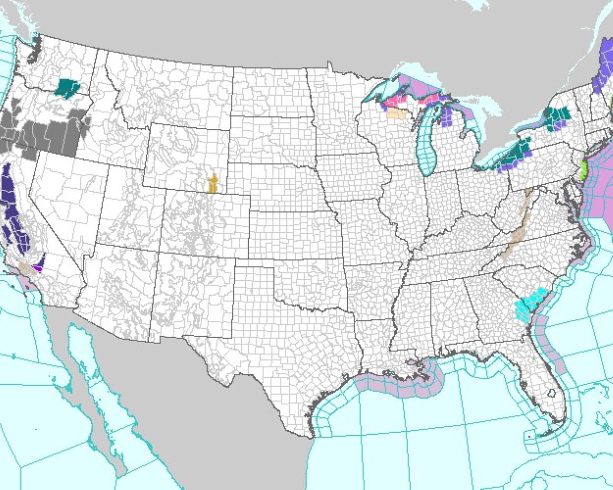
Winter has arrived with a vengeance this week, with residents across Michigan warned to beware of a storm bringing treacherous "heavy lake effect snow" to the region.
Lake effect snow is a common phenomenon across the Great Lakes region and is usually seen in late fall and throughout the winter months. It occurs when cold air—often blowing in from Canada —moves across the warmer waters of the Great Lakes, causing the air to rise and form clouds that release several inches of snow per hour.
Meteorologists say that a number of counties should prepare for heavy snow as a result and have warned "hazardous" weather is on the way. Some parts could see snow of up to a foot deep, while winds of up to 40 mph will make conditions even more dangerous.
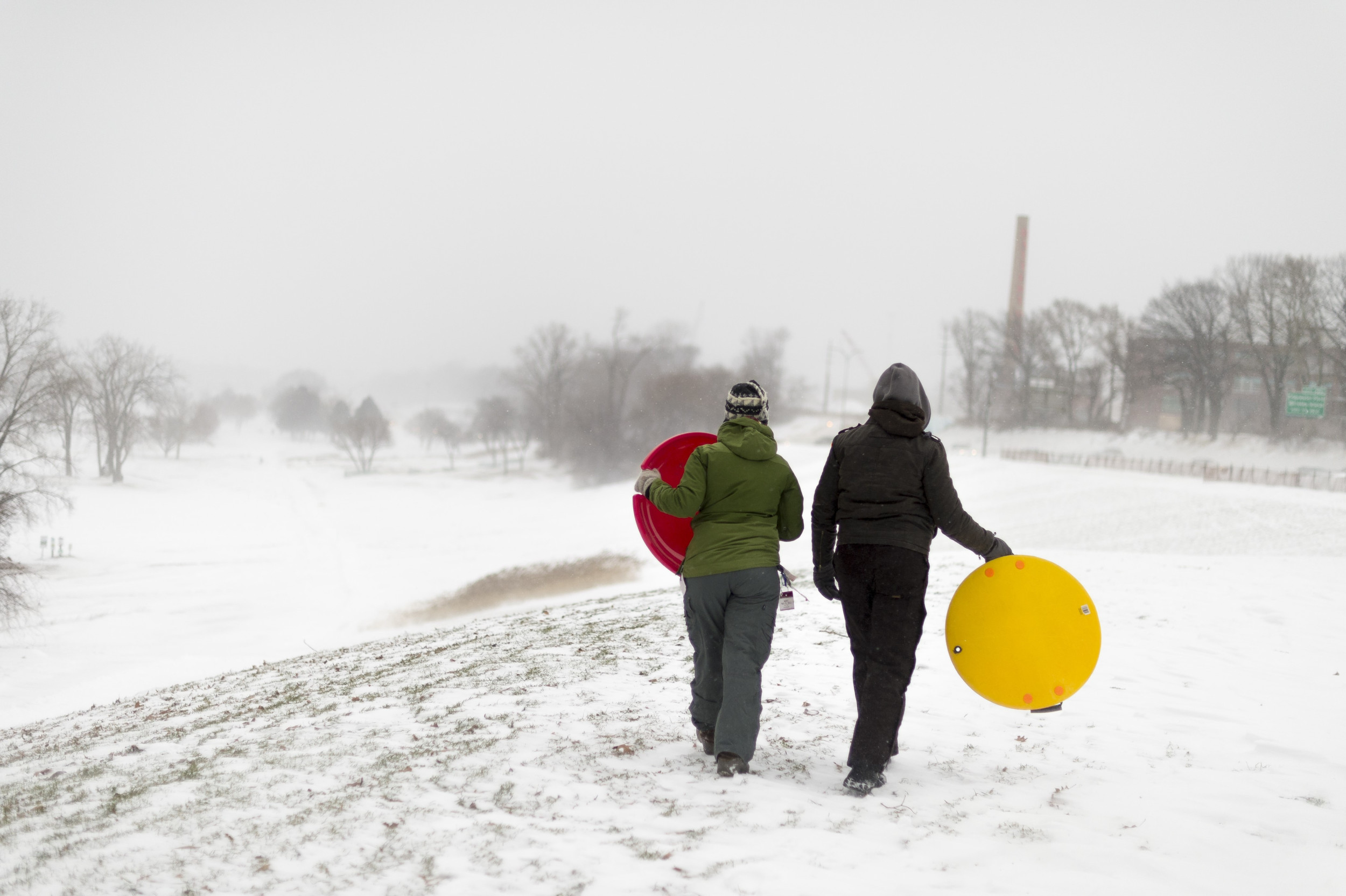
File image of two friends preparing to ride sleds near Lake Erie in Cleveland, Ohio, on January 2, 2014. Parts of Michigan have been warned to brace for heavy lake effect snow this week. Angelo Merendino/Corbis viaExperts fear that climate change is set to make extreme weather patterns worse, with a series of researchers and scientists telling Newsweek their grim predictions for the future. Many believe that more thunderstorms and floods are likely, along with tornadoes , hurricanes, and droughts . Meteorologists are already predicting a wetter-than-usual December for millions of Americans as El Niño-driven rain is scheduled to hit next month.
Winter storm warnings issued by the National Weather Service (NWS) on Monday said the alerts would remain in place until 7:00 EST Tuesday.
Several maps showing the affected regions have been made available on the agency's website. Residents should frequently check their local forecasts of the NWS for the most up-to-date news.

"Heavy lake effect snow and patchy blowing snow," were on the way the agency said, adding there would be "additional snow accumulations of 3 to 8 inches, greatest over the higher terrain from the Porcupine Mountains through Bergland to Rockland and from Ironwood to Wakefield."
The counties of Ontonagon, Baraga, Gogebic, and Southern Houghton are all set to be affected. "Travel could be very difficult. Patchy blowing snow could significantly reduce visibility. The hazardous conditions could impact the morning and evening commutes... If you must travel, keep an extra flashlight, food, and water in your vehicle in case of an emergency," the agency said.
A separate, similar alert issued shortly after 4:15 a.m. on Monday warned Alger, Luce, and Northern Schoolcraft counties of "heavy lake effect snow" to come.
"Additional snow accumulations of 5 to 10 inches with localized amounts of a foot or more," were forecast, along with "northwest winds gusting as high as 35 mph to 40 mph."
"Travel could be very difficult," NWS said. "Areas of blowing snow could significantly reduce visibility. The hazardous conditions will impact the morning and evening commutes."
That warning was also in place until Tuesday at 7:00 a.m. EST.


