Clickorlando
Chill hits Central Florida, but it’s going to get even colder. Here are the details
D.Miller3 months ago
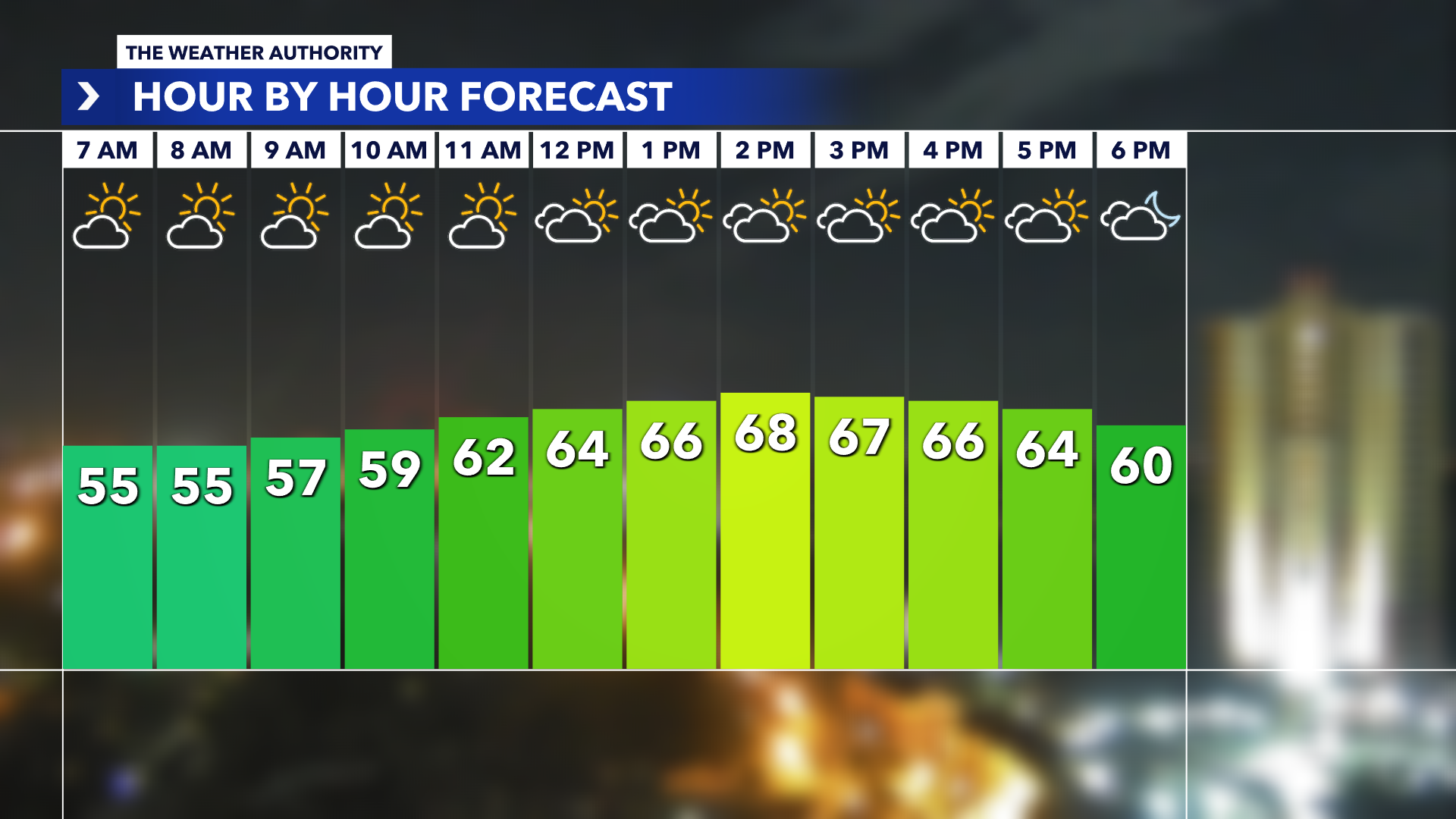
ORLANDO, Fla. – Jackets will be needed for your Tuesday morning commute - and throughout the day - as temperatures are going to struggle to warm up in the afternoon. We currently have a weak disturbance moving across the region, injecting additional cloud cover for the majority of Tuesday. Even with a disturbance overhead, a large surface high will keep rain out of the forecast. Low temps The overcast day will keep temperatures in the upper 50 north and west of the I-4 corridor and in the low 60s from Orlando southward. The coldest air of the season, so far, is expected to arrive as the clouds move out Tuesday night and into Wednesday morning.Florida’s winter could be crazy different. Here’s why] Overnight lows are forecast to dip into the upper 30s to low 40s north of I-4 and into the mid- to upper 40s south. A north breeze around 10 mph could make temperatures feel colder, especially across northern Lake, northwest Volusia and Marion counties, where wind-chill values fall into the mid-30s. The last time we’ve seen temperatures like this was in late January, when Orlando dipped into the upper 30s for a few days. After a chilly start Wednesday, mostly sunny skies will allow temperatures to rebound into the low and mid-60s. The surface high will continue to slide offs the Carolina coast by the end of the week, which will warm temperatures back into the 70s to low 80s area-wide, with a 20-30% chance for scattered showers. Cold weather factsOrlando almanac Average High: 76 Average Low: 56 Sunrise: 6:58 a.m. Sunset: 5:29 p.m.Tropics update With three days left in the 2023 hurricane season, there are no new areas of potential development over the next several days. Get weather info right in your inbox. Email Address
Read the full article:https://www.clickorlando.com/weather/2023/11/28/chill-hits-central-florida-but-its-going-to-get-even-colder-here-are-the-details/
0 Comments
0


:quality(70)/cloudfront-us-east-1.images.arcpublishing.com/cmg/3QXMVQ6CGZCD3BMDKYM4QEFK7I.png)


