Click2houston
Tracking a severe weather and flood threat today
Z.Baker3 months ago
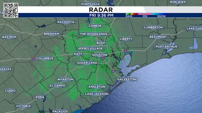
Thursday’s flood & severe weather threat: We have a severe weather threat. The severe weather and flooding would occur between 10 a.m. to 4 p.m. Tornadoes are possible. Here’s tips on how to prepare. We have an enhanced threat for tornadoes for parts of Southeast Texas. The last time we had a threat like this was in January when several tornadoes touched down from Pearland to La Porte. Make sure you adjust your plans for this potentially menacing weather. Tornadoes are the primary threat The big question today is does a high wind shear, which is the primary ingredient for severe weather, match up with the instability. If they match we’ll get tornadoes. If they don’t we’ll simply get heavy rain. The enhanced risk has shifted east and south now includes all of Harris County What is new this morning is our flood risk is higher. We now have a moderate flood risk from Houston to our coastline. 1′′-4′′ is the range of rain expected today. We now have a moderate risk of flooding from Houston to the coastline Heaviest rain expected south of I-10 and east of I-45 We may get more rain Friday from an area of low pressure to our west. Our weekend is cloudy with a 10% chance of rain Saturday. What to expect through Friday of next weekHurricane season today: This season featured the 4th most storms in a year. Tammy will be our last named storm of the year (Copyright 2023 by KPRC Click2Houston - All rights reserved.) KPRC 2's Frank Billingsley has a passion for all things weather.Sent every Monday, Wednesday and Friday. Email Address
Read the full article:https://www.click2houston.com/weather/2023/11/30/tracking-a-severe-weather-and-flood-threat-today/
0 Comments
0


