Why the heaviest rain is likely to fall outside of the highest severe threat zone
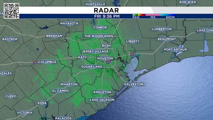
HOUSTON ( KIAH ) – Widespread rain sweeps across Southeast Texas Thursday with potential for heavy downpours and even a few damaging storms that could produce hail, strong winds and isolated tornadoes. Make sure you check radar if you’re heading out.
The highest threat for severe storms is in the brown zone on the image above, which is a level 3 out of 5 risk for severe weather, according to the Storm Prediction Center . This is where wind shear (changing wind speed and direction with height) is most notable. This is the type of atmospheric setup that could produce isolated tornadoes. However, the entire region sees at least some degree of severe storm risk.
It’s worth noting that the term “severe” doesn’t imply flooding. In fact, the most widespread and heaviest rain is likely from Houston south and east, as seen in yellow on the excessive rain outlook image above. The National Weather Service says rain totals of 1-3′′ could occur, but there may be as much as 4-6′′ if heavy rain continually runs over the same area.
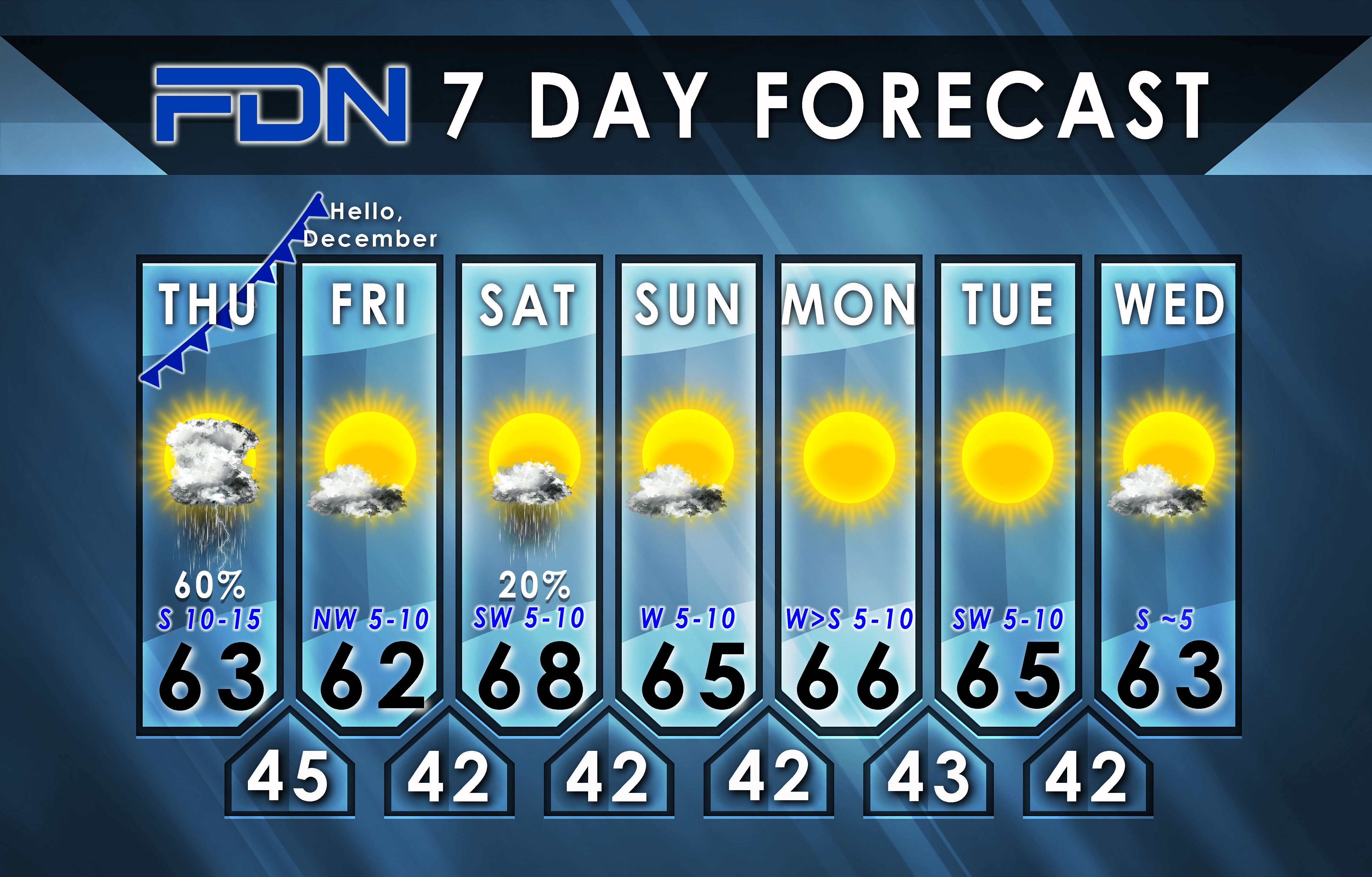
The bulk of Thursday’s rain will occur from mid-morning through mid-afternoon. A lot of the rain heads east of Houston Thursday evening.
Scattered showers and non-severe storms are still possible Friday, then most of the weekend is likely to be dry with pleasant temperatures.


/cloudfront-us-east-1.images.arcpublishing.com/dmn/UZMJ52PP55G27O426YZWC7Y3HY.jpg)


