Where is it going to snow? Warning amid plunging temperatures as minus 7.2C recorded
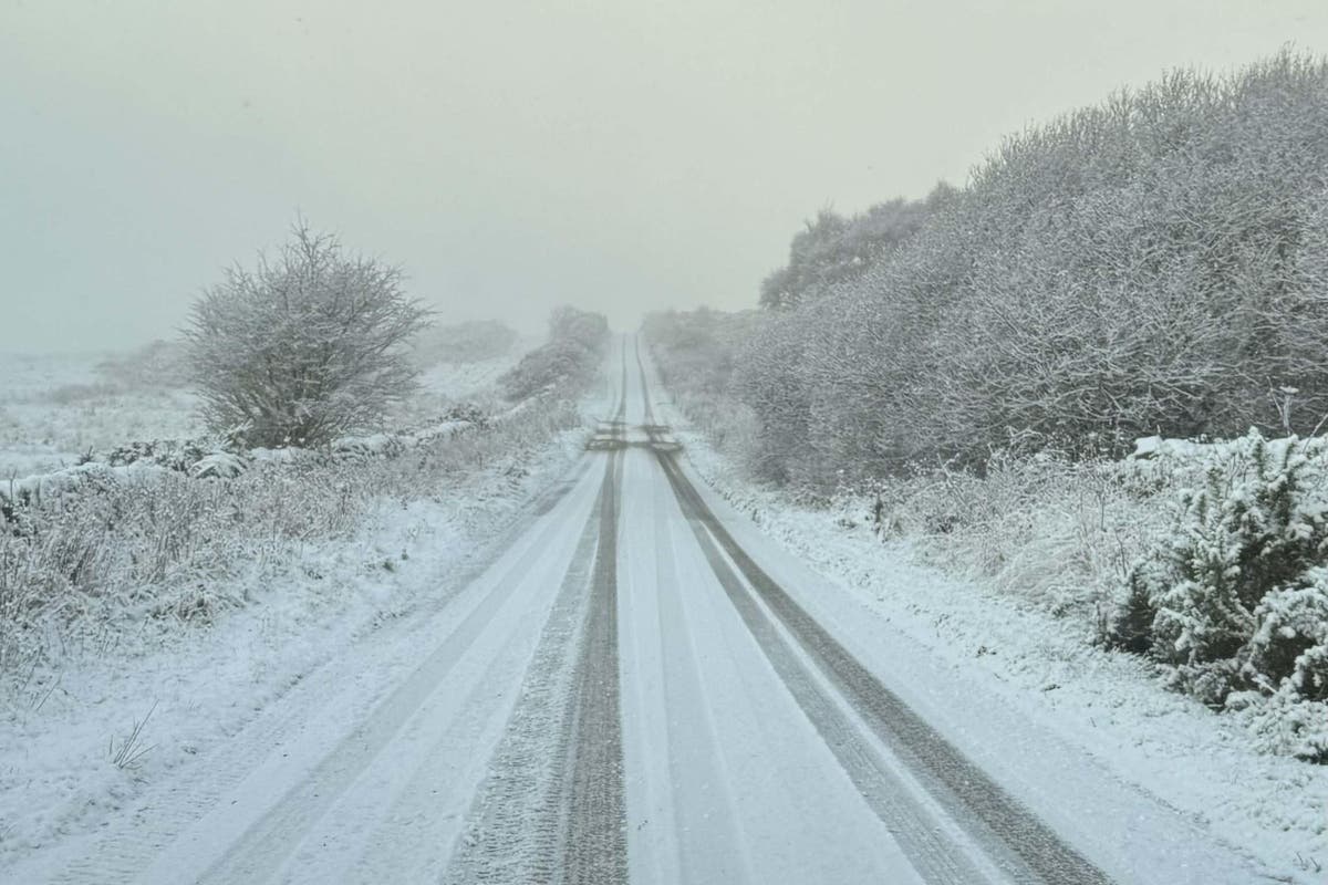
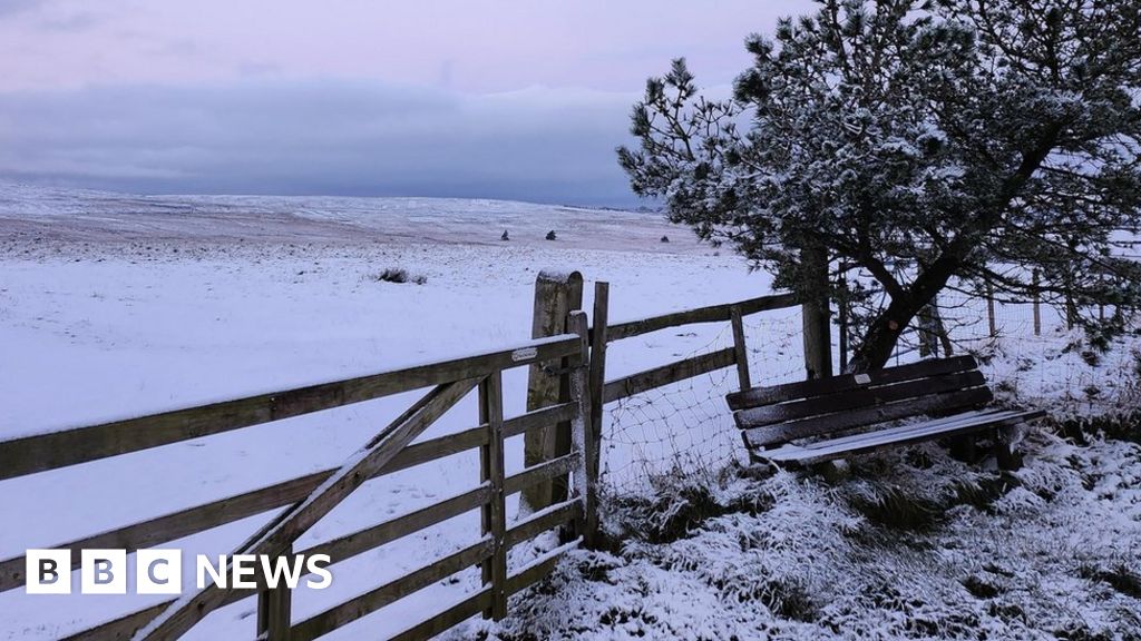
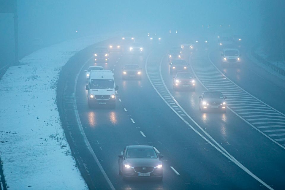
Temperatures have plunged to a low of minus 7.2C in England as snow fell in Scotland , Northumberland and Yorkshire, but the Met Office has said it is too early to predict a white Christmas.
Swathes of Scotland, England and Ireland were warned to brace themselves for snow and ice, with weather warnings issued amid plummeting temperatures.
The forecaster said the three lowest temperatures recorded at its observation sites overnight were all in Cumbria on Wednesday, with a low of minus 7.2C in Bridgefoot, minus 6.5C in Shap and minus 6.1C in Keswick.
Met Office spokeswoman Nicola Maxey said it has recorded snow in eastern Scotland, Northumberland and Yorkshire, with about 2cm of snow in some eastern coast areas and 5cm at Fylingdales on the North York Moors.
The UK is being hit by a blast of cold air from Scandinavia , causing a cold snap for many in the North.
Daytime temperatures are expected to drop to single-digit figures this week and night temperatures are expected to stay below freezing for large parts of England and Scotland.
On Wednesday the Met Office issued fresh weather warnings for snow and ice in the South West , eastern England and Scotland, and cautioned of icy stretches in parts of Northern Ireland from 5pm on Wednesday until 10am on Thursday.
One yellow warning, covering areas in north-east England, the east Midlands , the east of England, Yorkshire and Humber and parts of Scotland, will be active from 5pm on Thursday until 11am on Friday.
(PA)Another, affecting Cornwall , Devon , Dorset and Somerset , will be in place from 3am to 4pm on Thursday.
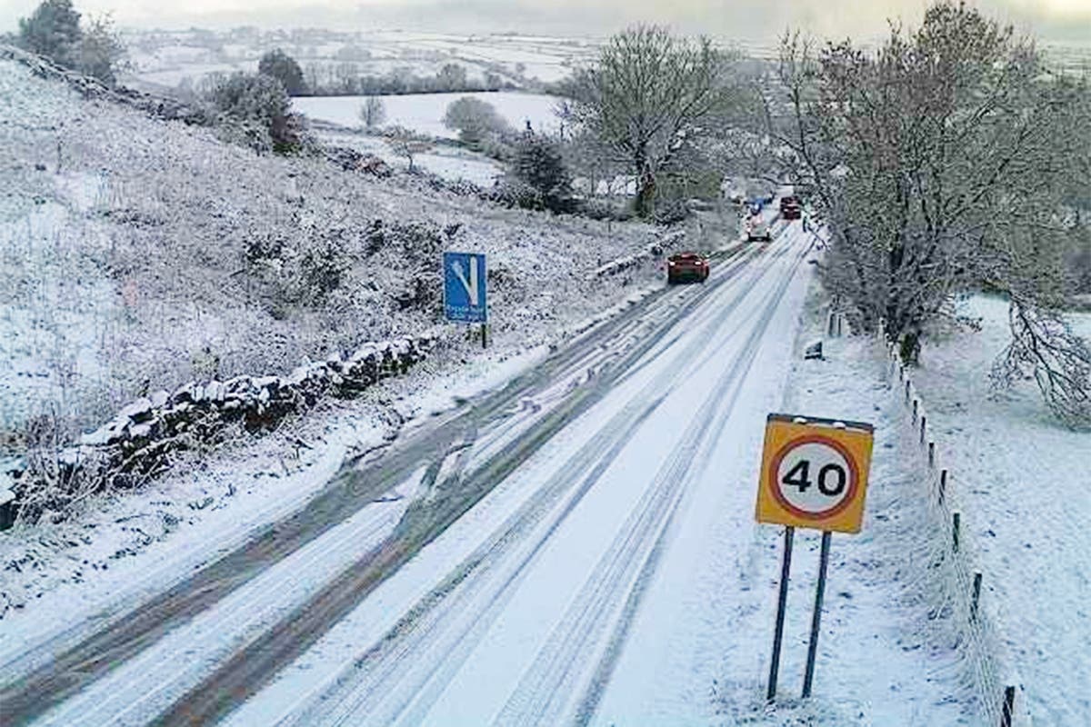
An earlier warning remains in place until 11am on Thursday for eastern Scotland and north-east England down to North Yorkshire , where snow caused closures on the A169.
Motoring organisation RAC urged drivers to “ensure they’re winter ready as some get their first real taste of snow and ice”, while the forecaster warned that wintry conditions could lead to icy patches on untreated roads, pavements and cycle paths, possibly leading to some longer journey times.
Ladbrokes’ latest betting odds for snow to fall anywhere in the UK on Christmas Day are 1/2, and it says Edinburgh and Newcastle are the “most likely destinations to see snow”.
But the Met Office urged people to take a prediction this far in advance with a “pinch of salt”.
Ms Maxey added: “Christmas is still a month away, so it is impossible with this lead time to have any confidence in a detailed forecast.
“There is often a fine line between who sees snow and who sees rain. Sometimes just a fraction of a degree Celsius change in temperature can make the difference between rain or snow falling, making forecasting snow weeks in advance extremely difficult.
“The definition of a white Christmas most widely used is for a single snowflake to be observed falling in the 24 hours of December 25.
“Therefore, snow falls ‘somewhere’ in the UK for more Christmas days than not. But widespread snow falling and lying on the ground is rather more infrequent.
“For widespread and substantial snow on the ground on Christmas Day we have to go back to 2010.
“There was a cluster of a few really cold Christmases in the 1830s and early 1840s that preceded the publication of a Christmas Carol by Dickens in 1843, maybe contributing to our ongoing national association of snow and Christmas.
“Christmas comes at the beginning of the season for snow. Wintry weather is more likely in the deepening cold of early January.
“White Christmases were more frequent in the 18th and 19th centuries, even more so before the change of calendar in 1752, which effectively pushed Christmas day back by 12 days.
“On average you would expect to see 3.9 days where snow was recorded falling in December in the UK but 5.6 days in February.”
(PA)Speaking on Wednesday, Ms Maxey added: “It’s another cold, fine day today, dry for many.
“This afternoon will see showers moving into the South West which could turn to snow over high ground overnight and tomorrow in areas such as Dartmoor, Exmoor and the Blackdown Hills.
“There will be a cold start to Thursday with rain, wintry showers and snow continuing in the South West and pushing in to the east coast, temperatures again widely below average for the time of year at around 2C to 4C.
“Many areas will be dry with clear/sunny spells on Friday. Any mist or freezing fog patches will be slow to clear in places.
“Wintry showers will continue to affect windward coasts, another cold or very cold day.
“Saturday, we will start to see a change in wind direction and showers into western areas.”
