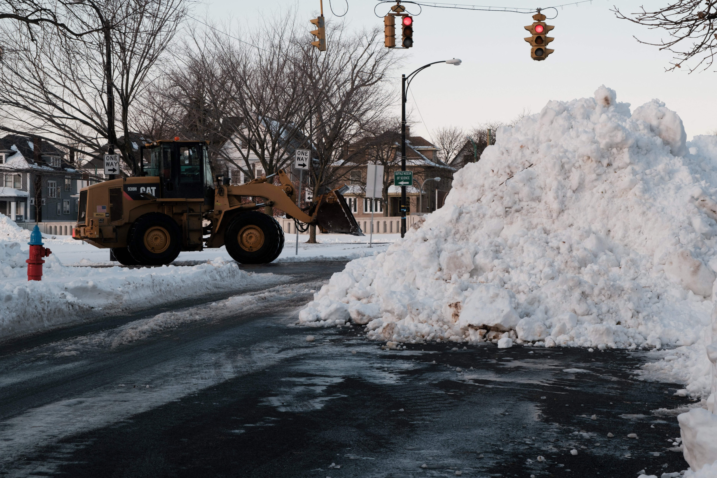
The first significant lake effect snow event of the season is underway
Areas in upstate New York are waking up to 12′′ to as much as 16′′ of snow this morning. Believe it or not, this all happened in a 24 hour span.
How is this possible? Lake effect snow!

Now because we are positioned on the western side of Lake Michigan, the Stateline doesn’t deal with lake effect snow all that much.
This happens when a northwesterly wind containing cold Canadian air flows over the open “warmer” waters of the Great Lakes. In doing so, air will rise and and condense into intense snow showers. Intense enough to produce 2′′ to 3′′ of snow per hour.
Lake-effect snow warnings remain in effect through early Wednesday for areas in extreme northwestern Pennsylvania and southwestern New York.
Some up in the Tug Hill Plateau, including Watertown, Fulton, and Syracuse, New York are also included in the lake effect snow warning!

The snow-covered roads and significantly reduced visibility associated with these intense snow bands will make traveling extremely hazardous.


:quality(70)/cloudfront-us-east-1.images.arcpublishing.com/shawmedia/357EL4YKMVH4FOVLLVUCIPJSLY.jpg)


