Theguardian
Cold weather expected to continue in UK with ‘potential snow event’
B.Wilson3 months ago
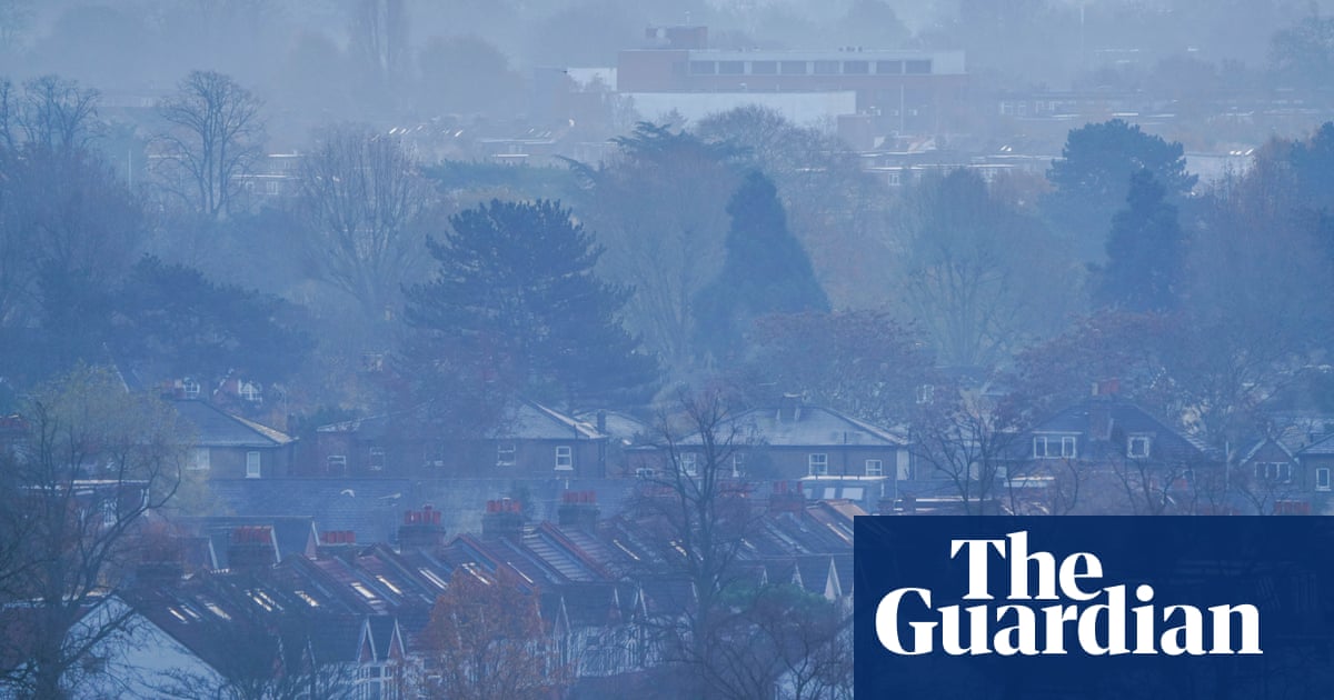
The UK is bracing for a continuation of the cold autumn weather that has produced wintry scenes across the UK this weekend, with temperatures remaining low in many areas over the coming week. The Met Office has warned of a “potential snow event” by the end of this week, as people prepare to begin their Christmas shopping in earnest. Temperatures dropped below freezing in parts of the UK once again overnight, creating frosty scenes across the UK, as the autumn cold snap continued. In parts of Scotland it fell to -5C (23F) in the early hours of Sunday morning, and in many areas of northern England and Wales overnight temperatures were at or close to zero. On Saturday a “lunar halo” – caused by the refraction of moonlight from ice crystals in the upper atmosphere – was spotted in the night skies in Staffordshire, the West Midlands, Surrey, Berkshire, Dorset, Yorkshire and the Isle of Wight. According to the Met Office, the halo can suggest rainfall may be approaching. Greg Dewhurst, a Met Office meteorologist, said it would be slightly warmer in southern areas on Sunday, while temperatures in northern and eastern parts of England would remain in mid-single figures. “We are likely to see widespread overnight frosts, with foggy mornings a possibility,” he said. “It is going to be on the cold side for many areas.” Rain on Sunday in Northern Ireland and south-west England will gradually spread to the southern half of the UK as Sunday progresses. Snow, particularly in hills, was possible in the next few days, he added, as a colder weather front hits in the middle of the week, with Friday 1 December marking the start of the metrological winter. Looking forward to the end of the week, Dan Harris, a Met Office deputy chief meteorologist, said: “At present, the most likely outcome beyond midweek is that rain from the west slowly moves east, with snow possible over higher ground, and a continued risk of showers over eastern parts. “However, there is a chance that a more active weather system arrives from the south-west, which would bring more widespread rain, stronger winds, and the potential for more significant snowfall should the air over the UK become sufficiently cold ahead of it.” A “continuation of colder than average conditions seems most likely”, he added.
Read the full article:https://www.theguardian.com/uk-news/2023/nov/26/cold-weather-expected-continue-uk-potential-snow-event
0 Comments
0


:quality(70)/cloudfront-us-east-1.images.arcpublishing.com/cmg/M64GOSRHGRHDDIKIAVVDRDR6RA.jpg)
:quality(70)/cloudfront-us-east-1.images.arcpublishing.com/cmg/LXA3KZT3PRDU3OVIP42BEE3LUA.jpg)


